Data Standards

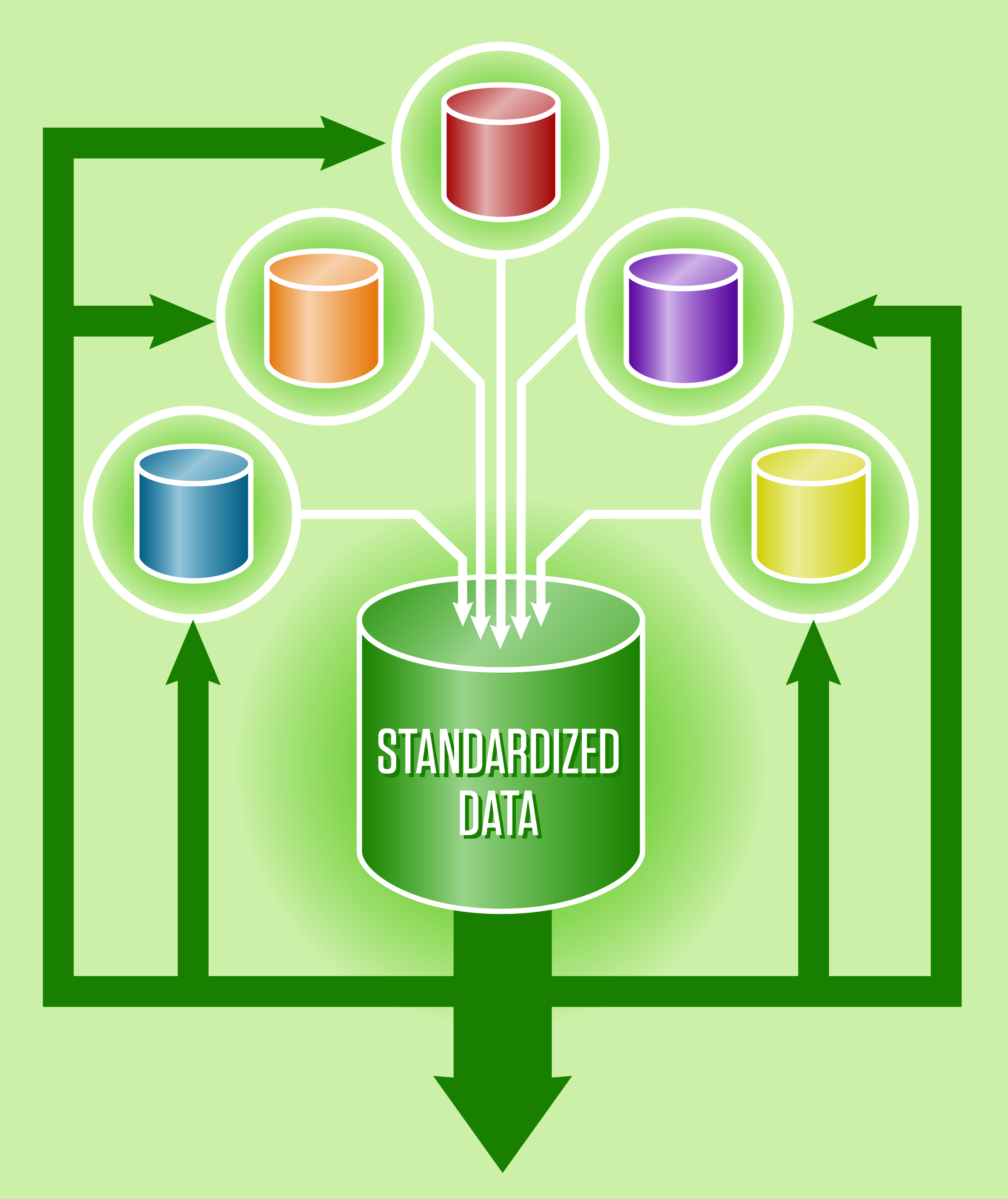
Standardized data increases the efficiency and capacity of agencies performing geospatial work. MetroGIS actively engages in work to develop and promote standardized data and helpful guidelines to realize these benefits. The following are the Data Standards presently endorsed and in use by stakeholders in the MetroGIS collaborative.
Address Data Guidelines
These standards and guidelines are intended to provide information for working with address data; they are offered as resources and are not mandates on how an agency is to prepare and use data internally. They are intended to assist in the creation of new databases containing address data.
Resources (links):
Minnesota Address Point Data Standard (adopted December 6, 2017)
(The Minnesota Address Point Data Standard succeeds the former MetroGIS Address Standards)
MetroGIS Address Standard 2015 update
MetroGIS Address Standard 2010
Federal Geographic Data Committee: U.S. Thoroughfare, Landmark, and Postal Address Data Standard
Contact:
Mark Kotz, GIS Manager
Metropolitan Council
[email protected]
651.602.1644
Municipal Identified Coding Standard
This standard is to provide a single, common coding scheme to identify all cities, townships and Census Bureau-defined unorganized territories in Minnesota; its primary intended uses are for data transfer, reducing data duplication, data incompatibilities and facilitating processing and data dissemination. This standard was approved by the Minnesota Governor’s Council on Geographic Information on March 25, 2009 and endorsed by the MetroGIS Policy Board on January 30, 2011.
Municipal Identified Coding Standard Document
Regional Planned Land Use Coding Scheme and Dataset
The regional coding scheme provides a means for users to quickly compare planned land uses among the municipal units of the Metropolitan Region. The coding scheme is not intended to replace or affect locally-adopted land use designations.
Planned Land Use on Minnesota Geospatial Commons
Contact:
Paul Hanson, GIS Specialist III
Metropolitan Council
[email protected]
651.201.1642
Unique Parcel ID Guidelines
A unique parcel identification number guideline would be of significant benefit to regional and state agencies consuming county parcel data. MetroGIS promotes the use of the unique parcel identifier scheme adopted by the MN Governor's Council on Geographic Information among its stakeholders. Use of this guideline does not require or suggest any changes in existing county business practices.
Identifying Land Parcels: Statewide Standard
Contact:
Nancy Rader, Senior Analyst, GIS Data and Coordination
Minnesota Geospatial Information Office
[email protected]
651.201.2489